Additional Information
Association Annual Expense
2250.00
Association Fee Frequency
Annually
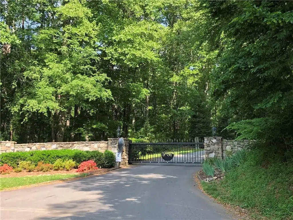
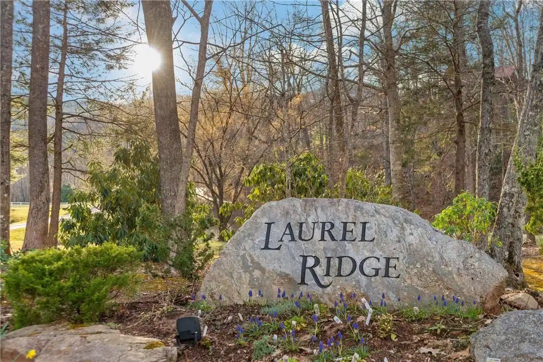
Association Name
Laurel Ridge POA
City Taxes Paid To
Black Mountain
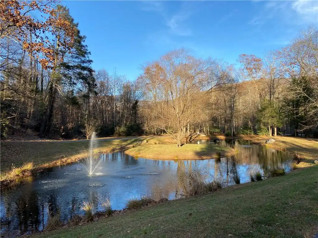
Community Features
Clubhouse, Picnic Area, Pond, Walking Trails
CumulativeDaysOnMarket
543
Directions
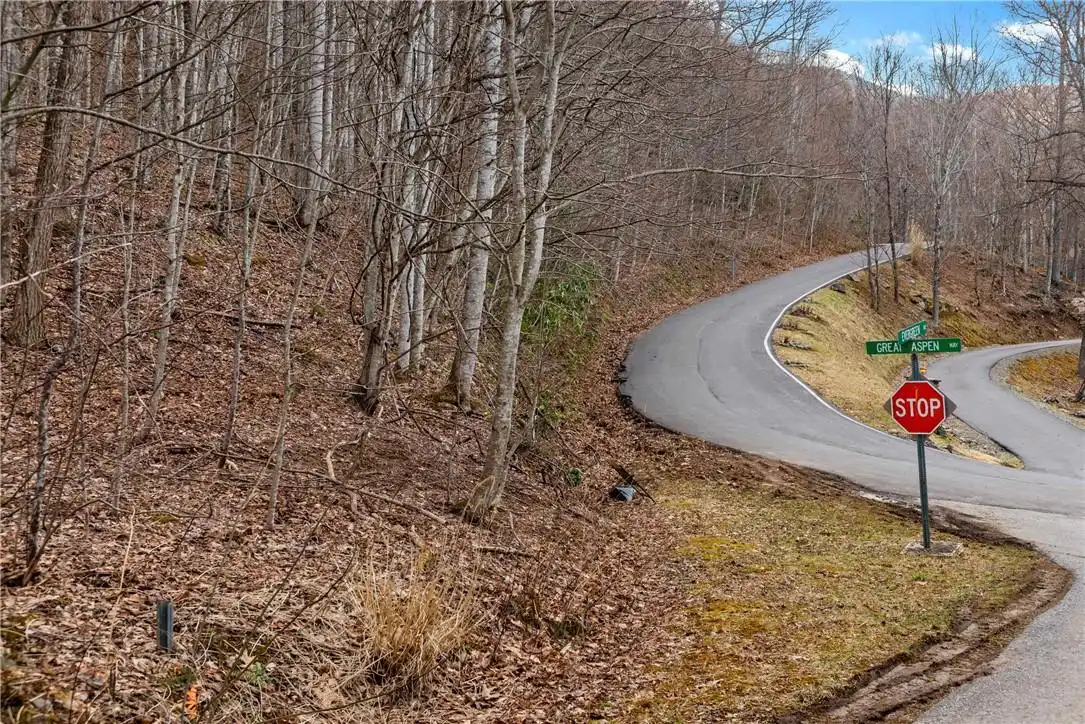
Head north on NC-9 N toward Montreat 0.9 mi, Slight left onto N Fork Rd 2.2 mi, Turn right onto N Fork Left Fork 1.3 mi, Turn left onto Sugar Maple Dr 1.1 mi, Continue onto Great Aspen Way 0.3 mi, Continue straight onto Evergreen Dr., Destination will be on the right
Elementary School
Black Mountain
Foundation Details Proposed
Basement, Pillar/Post/Pier
HOA Subject To Dues
Mandatory
Habitable Residence YN
false
High School
Charles D Owen
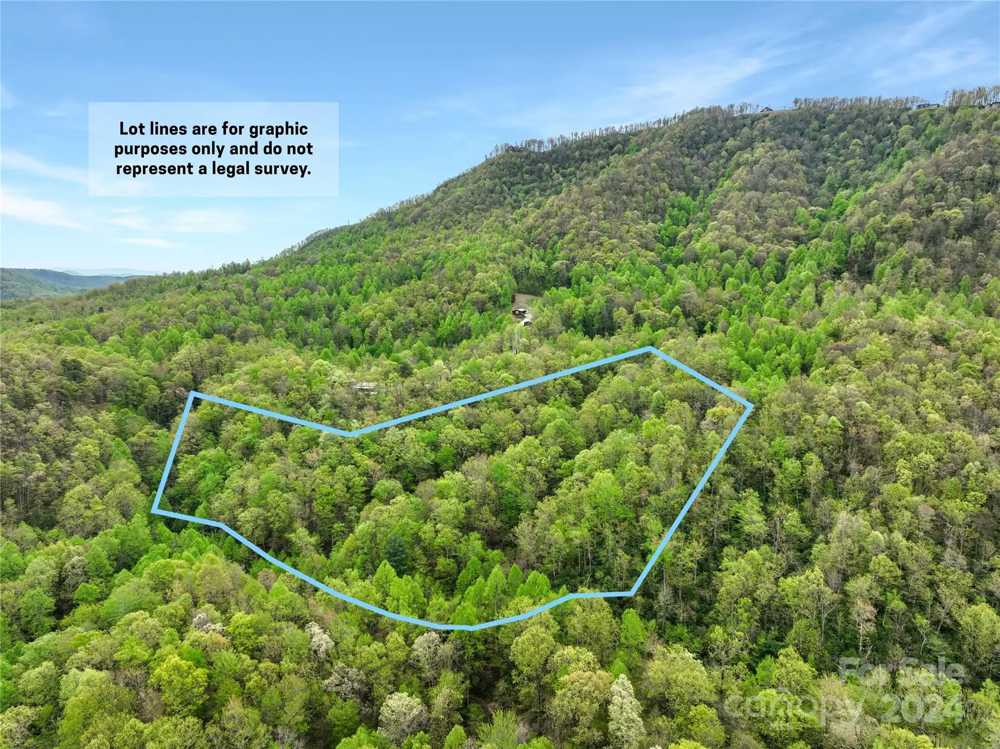
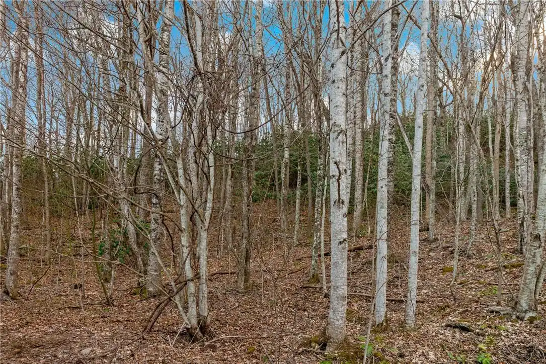
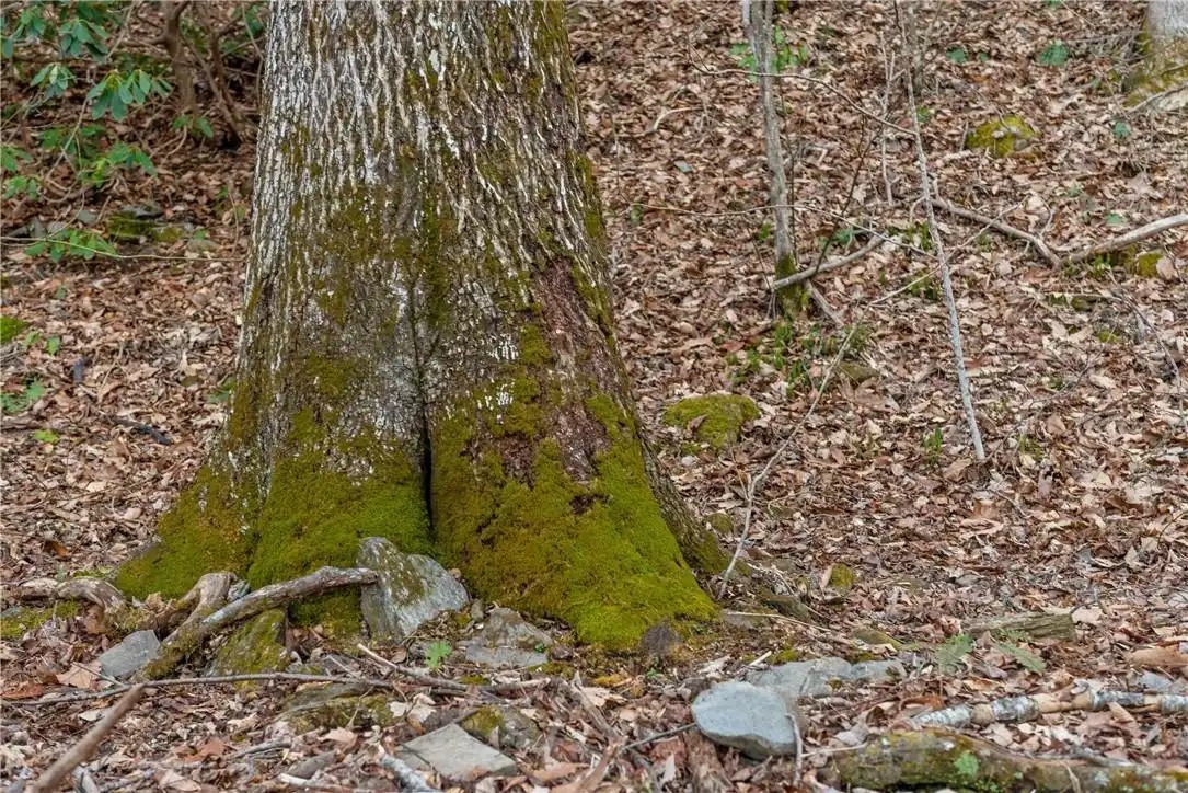
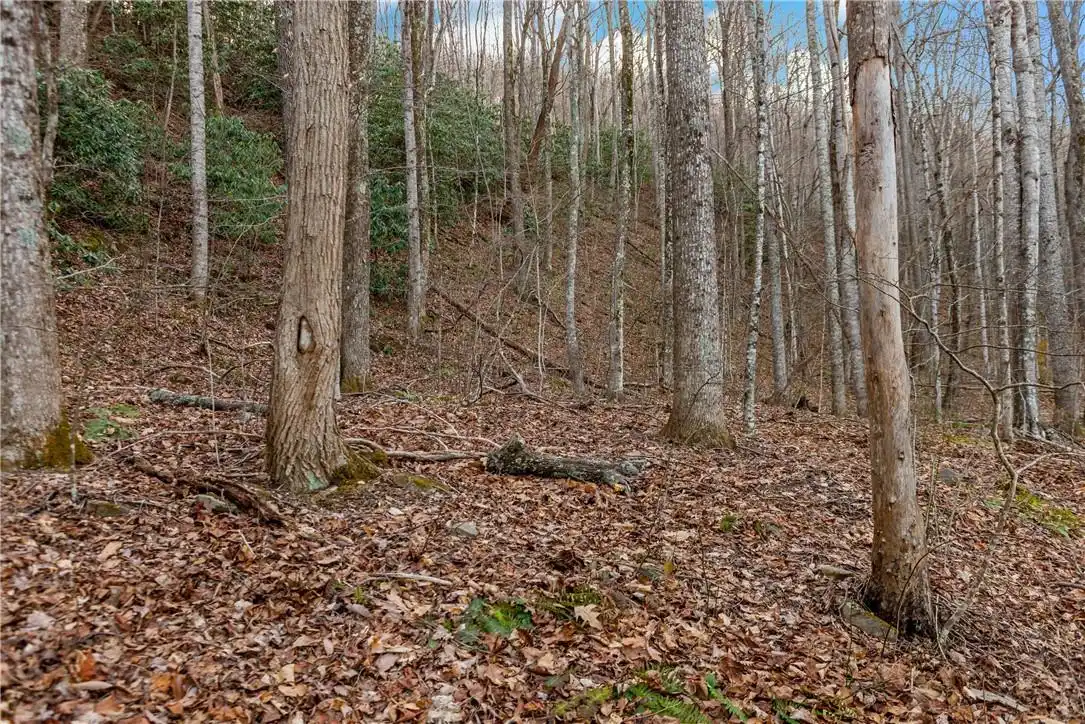
Lot Features
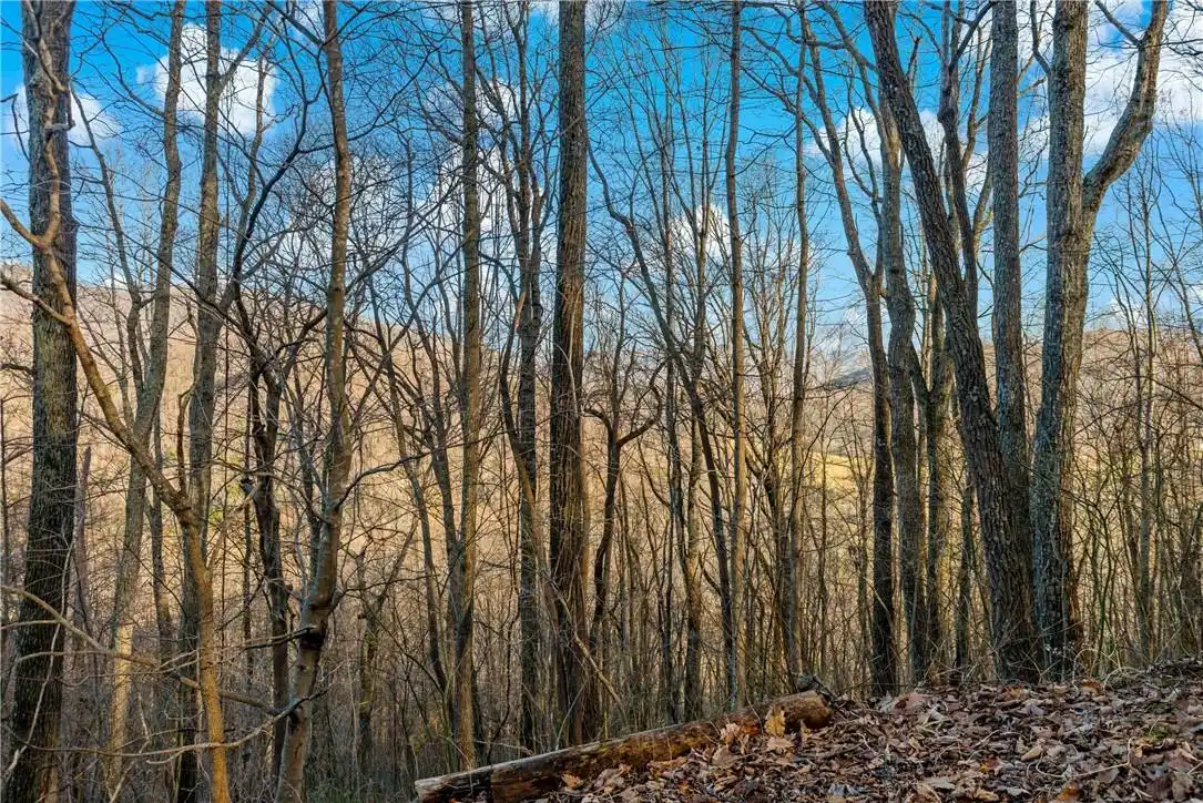
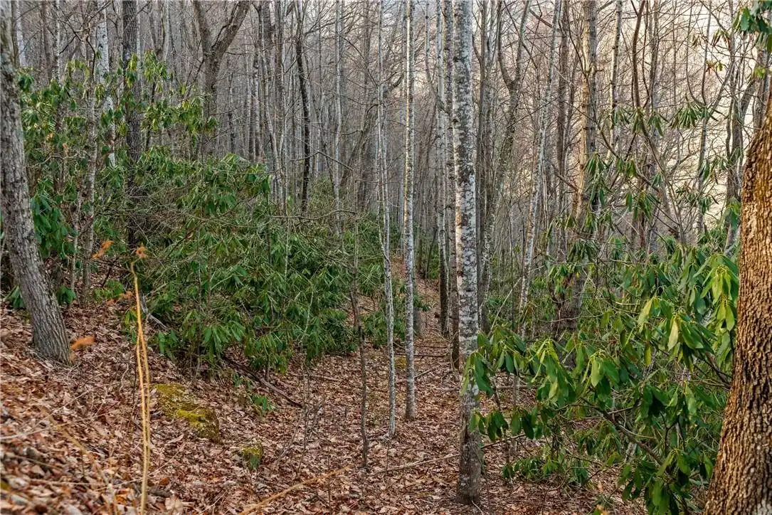
Corner Lot, Paved, Sloped, Wooded, Views
Middle Or Junior School
Charles D Owen
Mls Major Change Type
Back On Market
Parcel Number
070120152600000
Plat Reference Section Pages
20
Possible Use
Recreational, Residential
Public Remarks
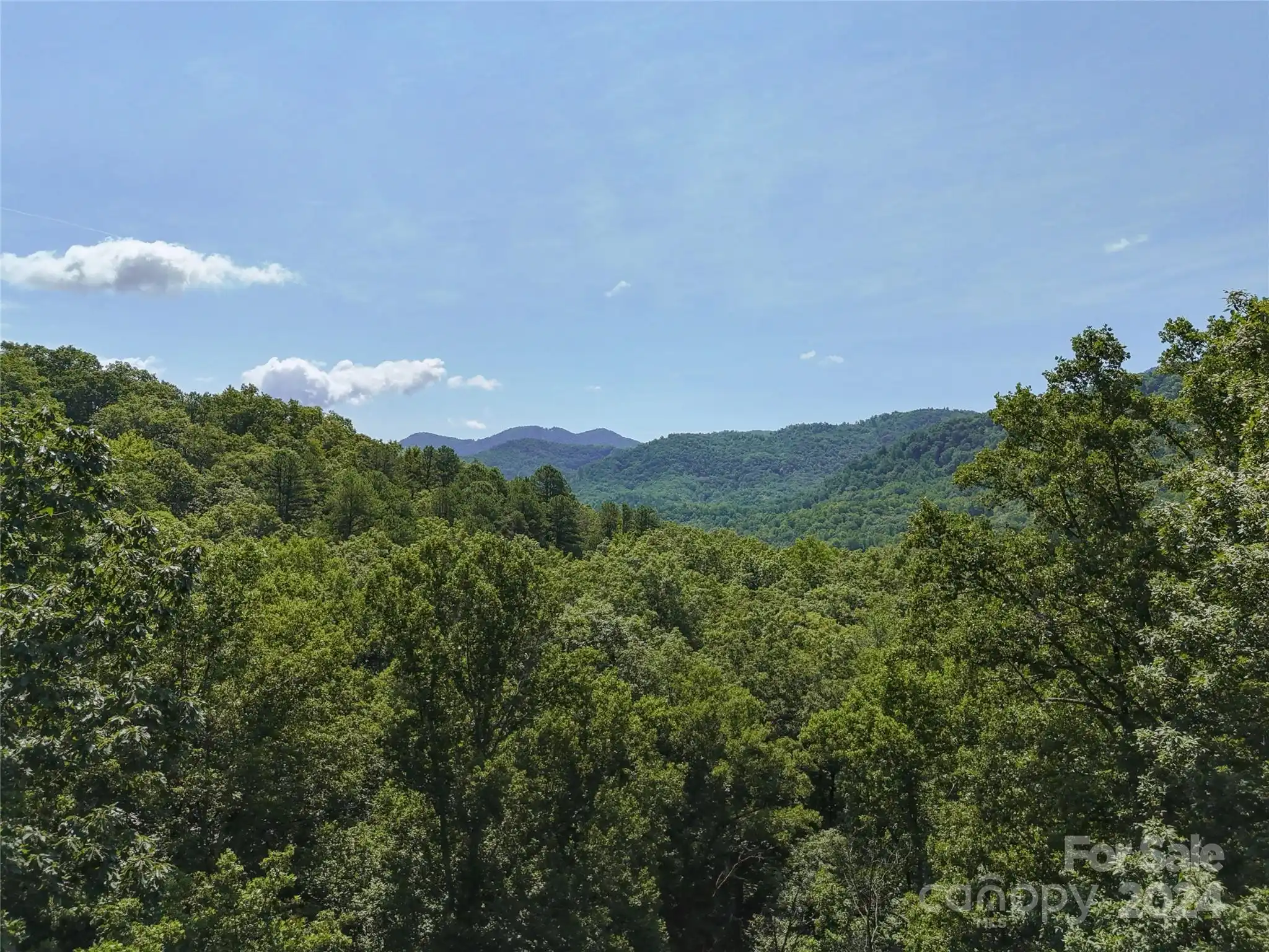
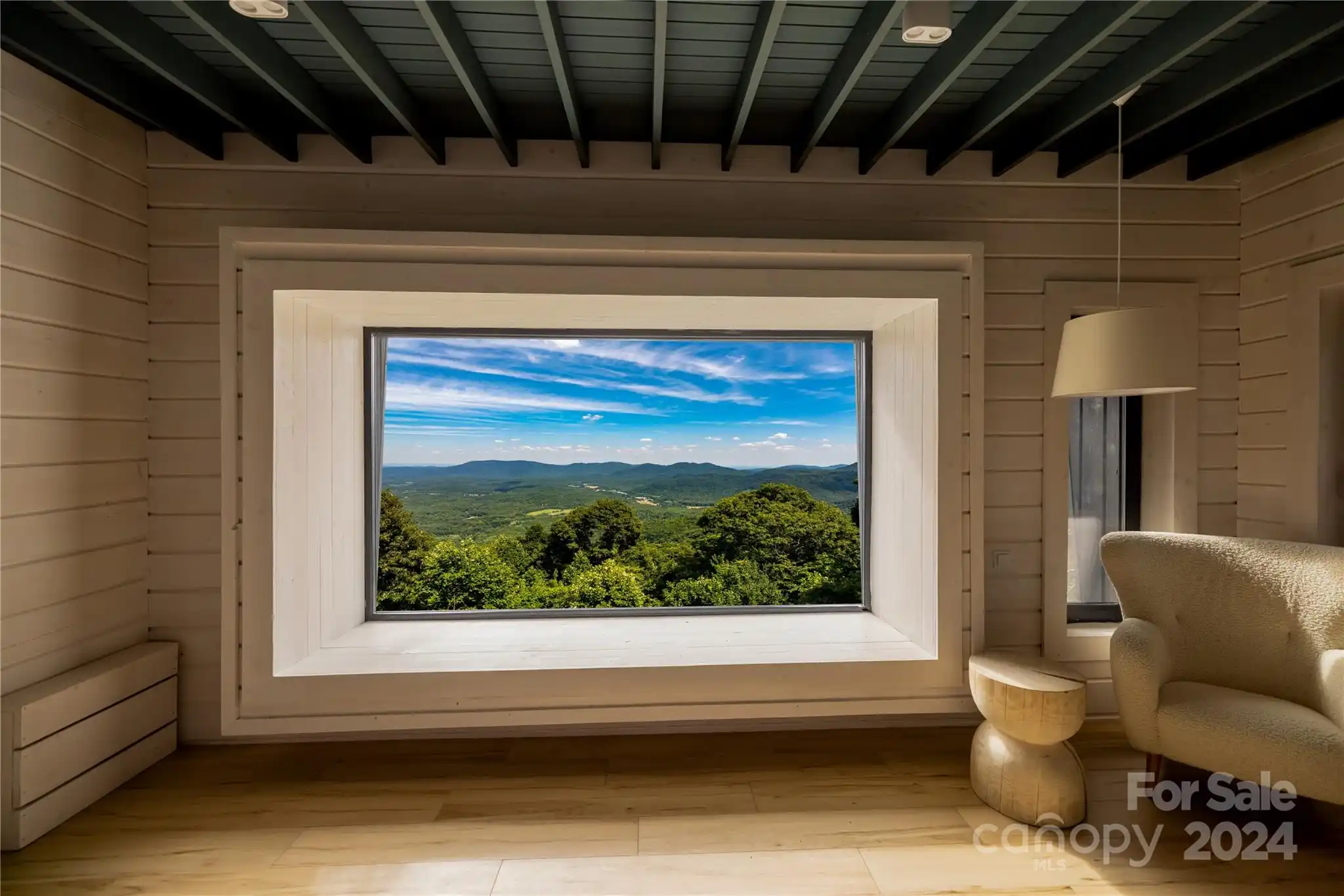
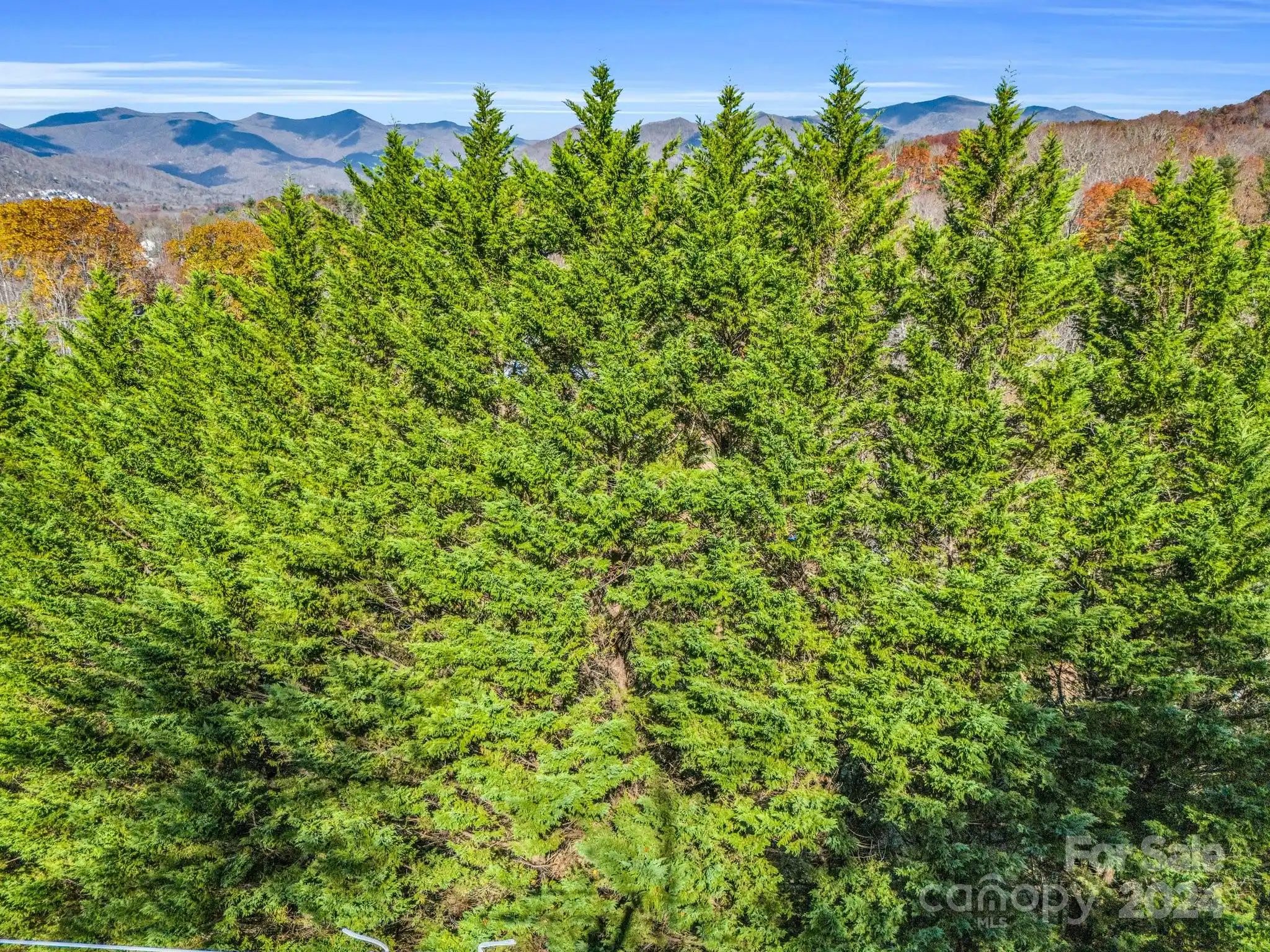
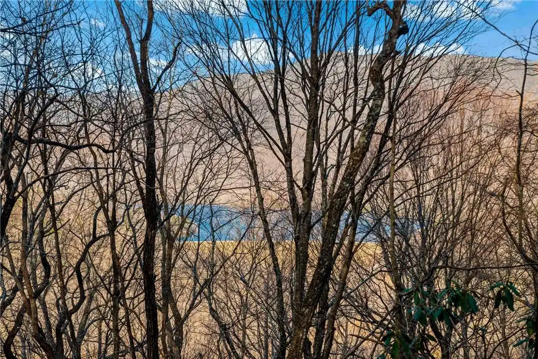
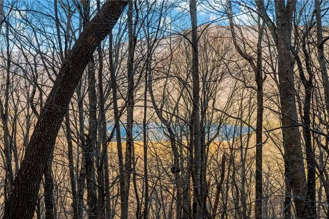
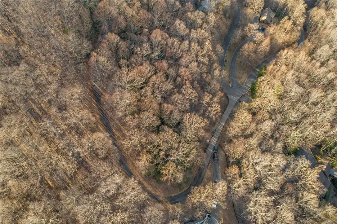
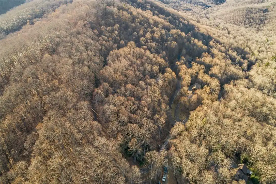
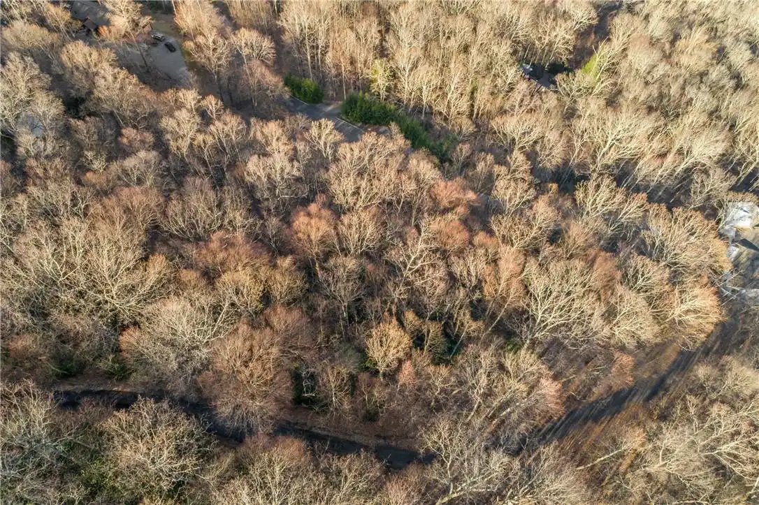
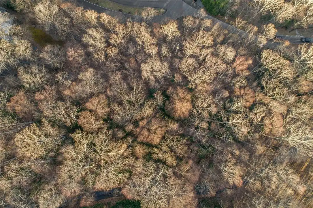
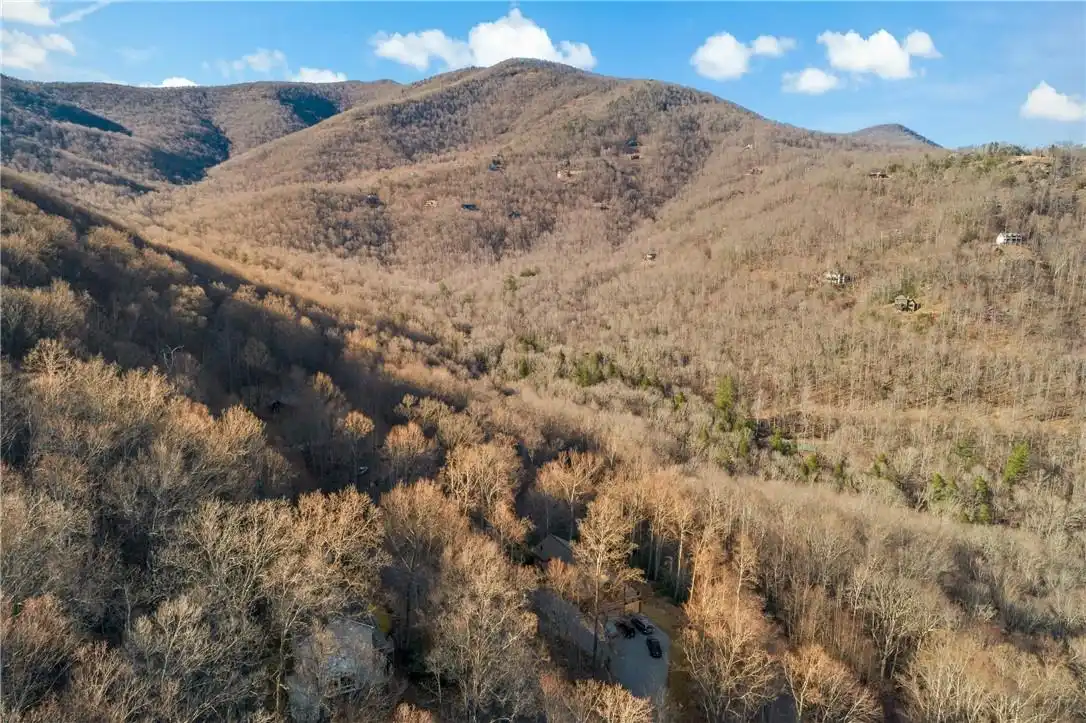
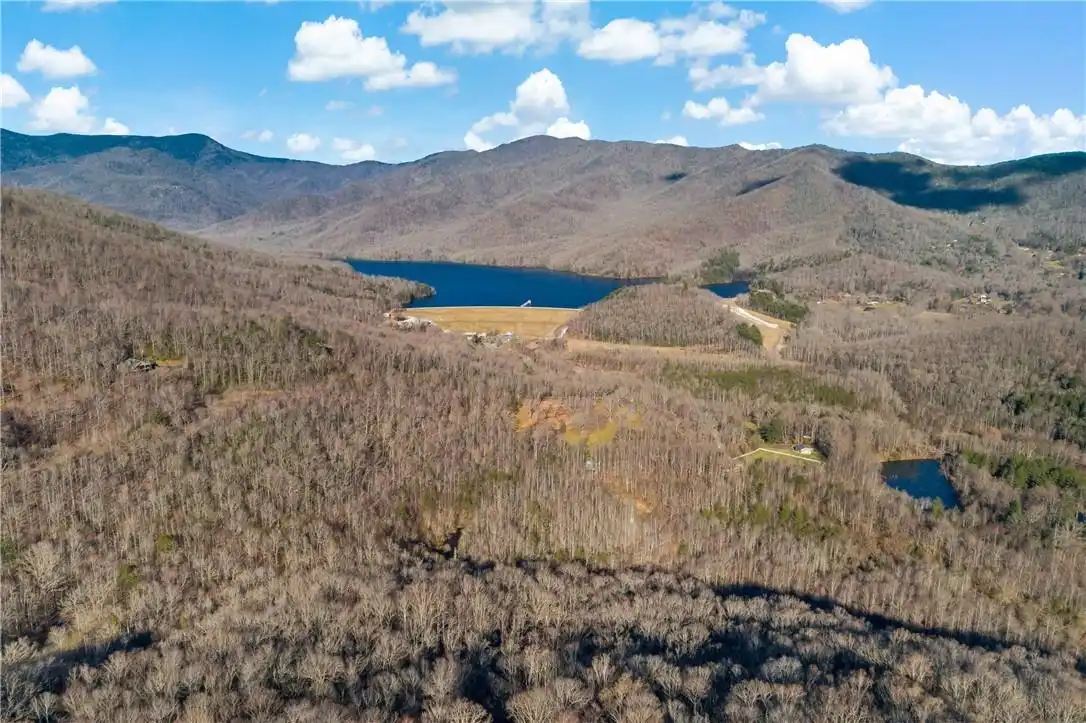
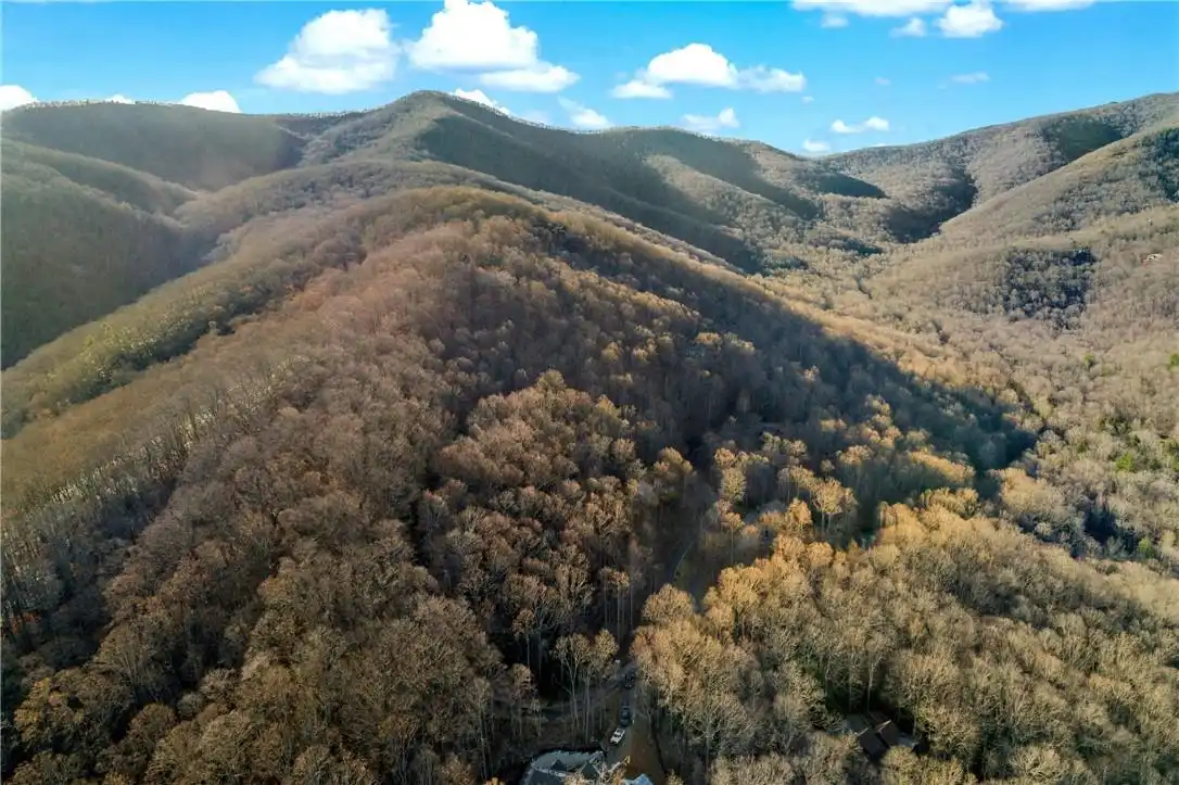
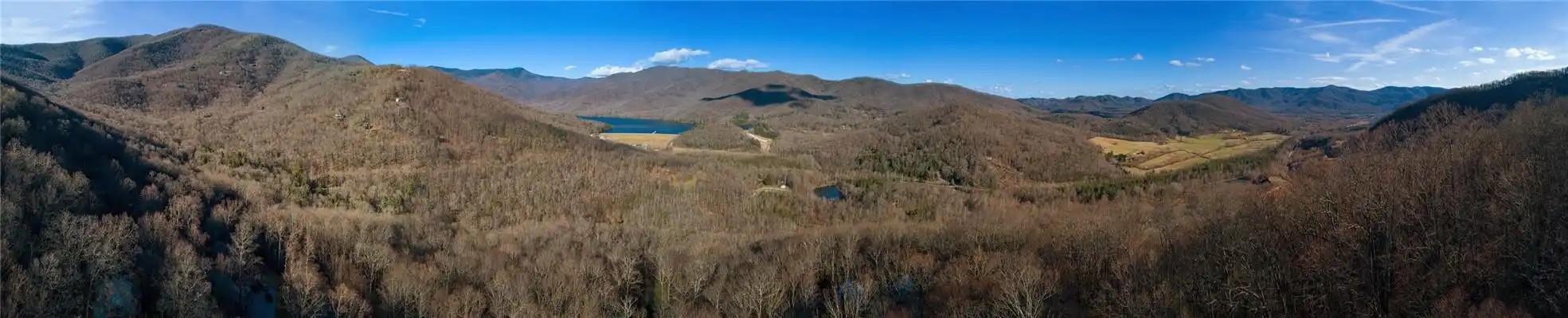
It can be very hard to find attractive vacant land in Black Mountain. This lot is within 15 minutes from downtown Black Mountain but has privacy and a forested feeling. It is a pleasant and easy drive that lets you feel much farther away. An abundance of wildlife and forested areas are the norm. Laurel Ridge adjoins the North Fork Valley and is a privately owned and gated cove adjacent to the protected 17, 500 acre Asheville Watershed. There is certainly an emphasis on embracing and preserving nature's beauty. Currently, there are 90 homes of both full and part-time residents. Vibrant, but low density. This 1.74ac lot is one that has winter views of the beautiful Burnette Lake, the mountains above the Blue Ridge Parkway and the Watershed. Potentially 270 degrees of filtered ridge line views. You can choose your house site and have easy access to it from the paved road. Lower, there is a flat area. As you get towards the top there are optional sites for the best views and added privacy.
Restrictions
Architectural Review, Manufactured Home Not Allowed, Modular Not Allowed, No Representation, Short Term Rental Allowed, Square Feet
Road Frontage Type
Private Road
Road Responsibility
Private Maintained Road
SqFt Building Minimum
1200
Subdivision Name
Laurel Ridge
Syndicate Participation
Participant Options
Utilities
Fiber Optics, Phone Connected, Propane, Underground Power Lines, Underground Utilities, Wired Internet Available